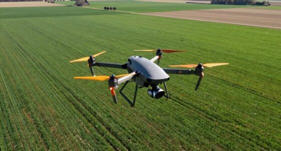
The 12 best drones for farm field mapping in 2026 offer advanced features that can revolutionize your agricultural practices—discover which models stand out.
10 Best Drone Mapping Software of 2025: Top Tools for Precision Aerial Surveys
An overview of the 10 best drone mapping software of 2025 reveals top tools that can elevate your aerial survey precision—discover which one suits your needs.