
To plan rural evacuation routes when roads flood fast, you should first identify flood-prone areas using maps and GIS data, then create alternative routes in advance. Communicate these plans clearly to residents and conduct regular drills. Use real-time sensors, weather alerts, and mobile notifications to stay updated on flood conditions. Coordinating with local agencies and updating your strategies guarantees quick, safe evacuations. Keep exploring these strategies further to protect your community effectively.
Key Takeaways
- Use GIS and mapping tools to identify and regularly update alternative routes outside flood-prone areas.
- Collaborate with local responders to establish clear, prioritized evacuation routes based on flood risk data.
- Implement real-time sensor and weather data to monitor road conditions and adapt routes dynamically.
- Communicate evacuation plans and routes clearly through mobile alerts, community meetings, and signage.
- Conduct regular drills to test route effectiveness and improve coordination for rapid evacuations.
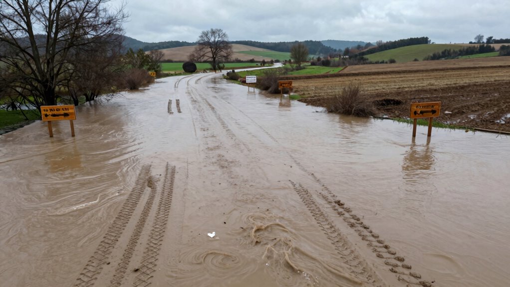
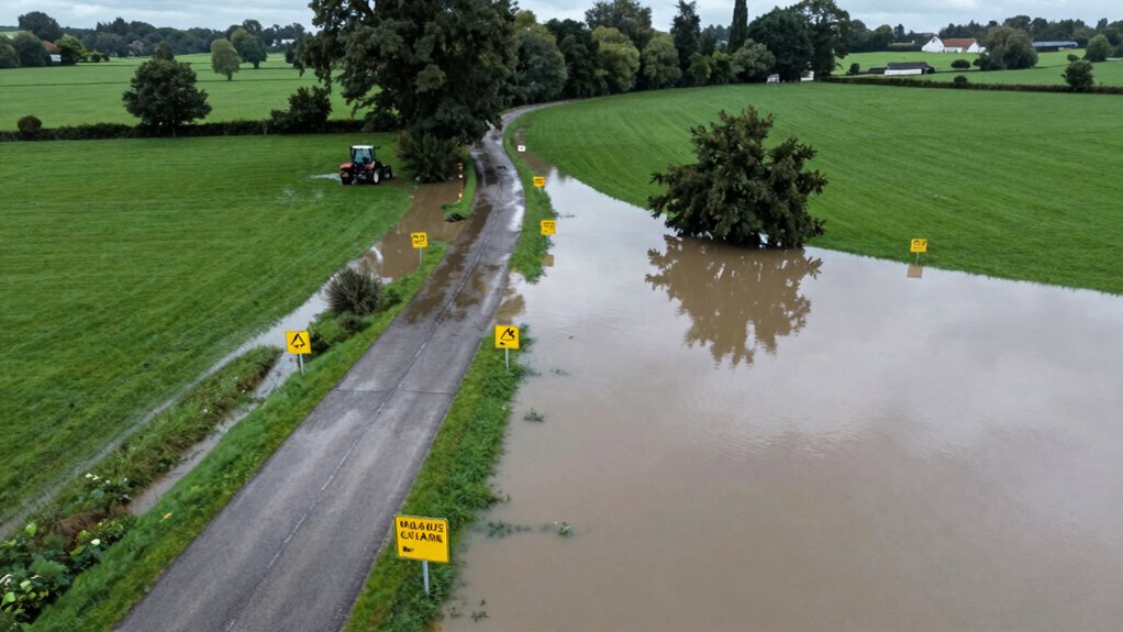
Planning rural evacuation routes is essential for ensuring safety during emergencies, but it requires careful preparation and coordination. When floods come quickly and roads flood fast, you need a clear, reliable plan that considers the unique challenges of rural areas. Your first step should be engaging with the community. Talk to residents, local leaders, and emergency responders to understand their concerns and gather insights about the area’s vulnerabilities. Community engagement isn’t just about collecting information; it’s about building trust and ensuring everyone understands the plan. When residents participate, they’re more likely to follow evacuation instructions and help others do the same. Regular drills and discussions strengthen this collective preparedness, making sure that everyone knows their role when disaster strikes.
Incorporating technology integration into your planning process can significantly improve your response time and accuracy. Use mapping tools and geographic information system (GIS) data to identify the fastest routes, potential flood zones, and safe shelters. Mobile alerts and weather apps can notify residents immediately when flooding escalates, guiding them to evacuate before roads become impassable. Installing sensors and cameras along critical routes provides real-time updates on flood levels and road conditions, enabling you to make informed decisions quickly. These technological tools also help you communicate effectively, ensuring that evacuation orders reach even the most remote residents promptly. The key is to leverage technology not just as a communication aid but as a tool to adapt your plan dynamically as conditions change. Additionally, utilizing cloud-based data management allows emergency teams to coordinate and share information seamlessly across agencies during a crisis. Staying informed about the latest technology advancements in flood monitoring can further enhance your preparedness and response capabilities. Moreover, investing in early warning systems can save lives by providing crucial alerts well before flooding reaches critical levels.

YoLink Water Leak Starter Kit: Hub + 4 Leak Sensor 1 (Silent), LoRa Long-Range, App/SMS/Email Alerts, D2D Offline Triggers, 2 AAA Up to 5-Year Battery, Compatible with Alexa/IFTTT/Home Assistant
- Complete Leak Detection Kit: Hub with 4 leak sensors for whole-home coverage
- Long-Range LoRa Connectivity: Reliable up to 1/4 mile in open air
- Offline Functionality: Triggers local alarms and shutoff without internet
As an affiliate, we earn on qualifying purchases.
As an affiliate, we earn on qualifying purchases.
Frequently Asked Questions
How Often Should Evacuation Routes Be Reviewed or Updated?
You should review your evacuation routes at least annually and after significant weather events or road changes. Regular route assessment guarantees your plan remains effective and up-to-date. Updating frequency depends on local conditions, road maintenance, and community feedback. Staying proactive helps identify vulnerabilities and adapt quickly, so you’re prepared when floods or emergencies happen. Consistent reviews keep your evacuation plan reliable and ready to protect everyone when it counts most.
What Supplies Should Be Prioritized During Rural Evacuations?
During rural evacuations, you should prioritize essential supplies like clean water, non-perishable food, first aid kits, and necessary medications. Don’t forget communication tools such as cell phones, portable chargers, and radios to stay connected with rescue teams and loved ones. These essentials guarantee safety and coordination, helping you respond quickly and effectively. Always prepare a kit with these items ahead of time to avoid panic during emergencies.
How to Coordinate With Local Authorities for Evacuation Planning?
Remember, “It takes a village,” so you should actively engage with local authorities early. Reach out to coordinate community engagement efforts and share resource allocation plans. Attend emergency planning meetings, exchange contact information, and clarify roles. By establishing open communication channels, you’ll guarantee everyone’s on the same page, making evacuation efforts smoother and safer during floods. Working together turns chaos into coordinated action.
What Signs or Markers Are Best for Guiding Evacuees?
You should use clear, reflective signage placed strategically along evacuation routes to guide evacuees effectively. Guarantee marker visibility by choosing high-contrast colors and large fonts, especially in low-light or adverse weather conditions. Position signs at key decision points, such as intersections and turn-offs, to avoid confusion. Regularly check that signage remains unobstructed and well-maintained, helping everyone follow the safest route quickly during emergencies.
How to Assist Residents With Mobility Challenges During Evacuation?
You can assist residents with mobility challenges by identifying and addressing mobility barriers early. Use assistive technology like wheelchairs, walkers, or portable lifts to help them move safely. Guarantee evacuation routes are accessible and free of obstacles, and coordinate with emergency services to provide specialized assistance. Communicate clearly, and assign volunteers trained to support those with mobility challenges, making sure everyone can evacuate quickly and safely during emergencies.
Conclusion
By carefully considering conditions, creating clear communication channels, and choosing dependable routes, you can confidently coordinate your community’s safe escape. Remember, planning proactively prevents panic and preserves peace amidst peril. Stay steadfast, stay strategic, and stay prepared—because in the face of fast-flooding roads, foresight fosters freedom and safety. Proper planning, persistent practice, and prudent precautions guarantee your rural residents escape swiftly, securely, and with minimal stress. Ultimately, proactive preparation proves powerful in preventing peril and preserving peace.